- Details
Mount Buninyong
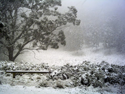
A rare snowfall in the crater on Mt Buninyong.
Photo by Barry Grewcock, 8th July 2008
Mount Buninyong is an extinct volcanic mountain 745 metres above sea level. A great landmark of the district, it stands out from the vast Western Plains next to its northern sister Mt Warrenheip and is visible from the high-rise towers of Melbourne in the west and the Grampians in the east, providing a welcome sign of home to countless generations of local people.
Mount Buninyong was long the spiritual home of the Keyeet Balug clan of the Wathaurang (or Wada Warrung) people who occupied this area for thousands of years before new waves of settlers arrived in the early nineteenth century. An aboriginal burial site was located in the 1860's and stone tools have been found there but no archaeological survey has yet been carried out.
Walks through the crater and up to the lookout tower are a popular recreation and if snow falls in the district it will always be best on the Mount.
The Mt Buninyong Walk is covered in detail on the excellent map of the Wallaby Track (Mt Buninyong-Daylesford) section of the Great Dividing Trail published by the Great Dividing Trail Association. This map and others showing the road to the summit and walking tracks on the Mount are available from the Buninyong Information Centre
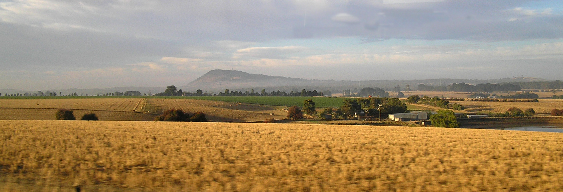
Mt Buninyong seen from the distance (taken from the Ballarat-Melbourne train)
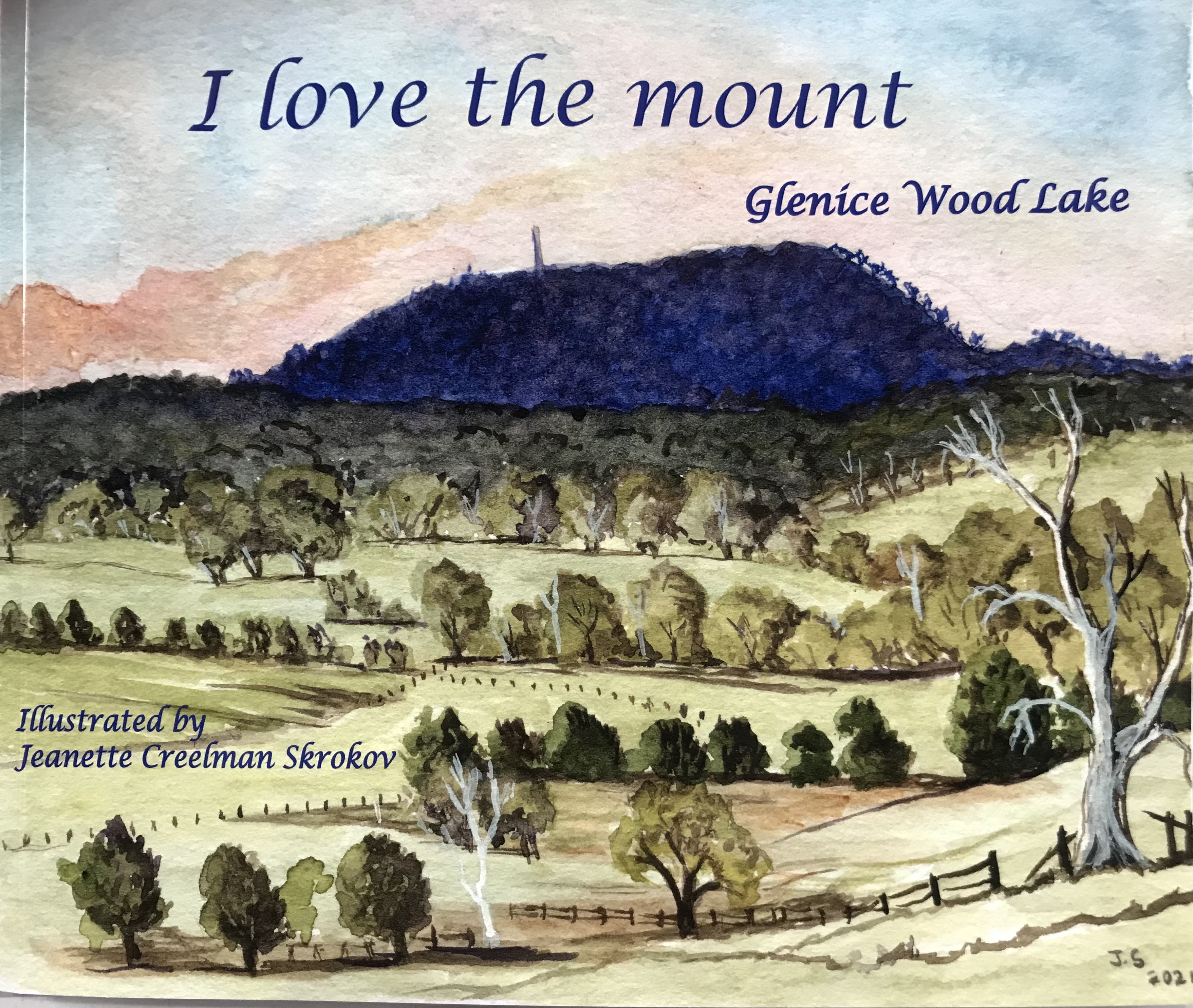
I love the mount
History of Mt Buninyong Reserve:
In 1837 a party of seven men travelled up from the fledgling settlement of Geelong and became the first European people to view the country to the west and north-west from its summit. Mt Buninyong Reserve, an area of 90 hectares (217 acres) was set aside as a Public Park in 1866. The road to the top was completed in 1926. There have been three lookouts, the most recent was completed in 1979.
In the 19th century the area was a very popular scenic attraction. Walks meandered from the foothills up through the crater to the summit and a simple wooden lookout platform. Later additions included a rotunda-style shelter, toilets and barbecue facilities.
General information (historical)
| 1837 | First exploration by white settlers |
| 1866 | 217 acres reserved for Public Park with early settlers having grazing rights.At this time the only access was by rough tracks, nevertheless the Mount was always a popular picnic and viewing site, New Year's Day having the special appeal of witnessing the sun rise for another year. |
| 1884 | Celebrations for the proposed extension of the railway line to Buninyong. Construction of a carriage drive to the crater, zigzag path to the summit, and the Mount levelled to provide picnic and camp sites. |
| 1926 | Road to the summit completed and a low platform lookout built. |
| 1932 | Bell Memorial Tower (an old mine poppet head) replaces platform lookout. Picnic rotunda built. (Bell was a prominent local figure and State politician.) |
| 1980 | Present Mount Buninyong Tower opened. |
| 1982 | New works included: Information board, painting the rotunda and water tower, construction of picnic seats and barbecues, formation of nature tracks, new parking area (lower), erection of bollards and gateway (upper) |
| 1983 | Scoria path to lookout tower. Picnic seats at various view points. Tree planting (unsuccessful) on bare north face. |
| 1988 | Bicentennial obelisk constructed. Bicentennial Flare display to tie in with the Bicentennial Beacons Project. |
Information on the history of Mount Buninyong Reserve was supplied by Derick Leather, Buninyong & District Historical Society.